

The universe is yours, literally, with STAR TREK Stellar Cartography: Starfleet Reference Library. The upcoming book, due out in December from 47North and becker&mayer!, boasts 10 original, fully removable large-format maps of the Star Trek universe. The maps – among them a Romulan government map of the Empire, a Cardassian Union map from the time of Bajor’s occupation, a Klingon map (in Klingon and pre-Organian Peace Treaty) and an ancient Vulcan map -- provide a rare glimpse into (and beyond) the expanse of Federation space through the multiple lenses of the galaxy’s key players.
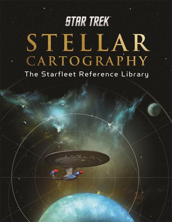
STAR TREK Stellar Cartography: Starfleet Reference Library will come housed in a handsome clamshell case and paired with a fully illustrated book with detailed information about systems, planets, topography and more. Star Trek expert and regular StarTrek.com guest blogger Larry Nemecek has written the 48-page collection, which features illustrations by Ian Fullwood, Ali Ries and Geoffrey Mandel.Keep an eye on StarTrek.com for additional details about STAR TREK Stellar Cartography: Starfleet Reference Library.